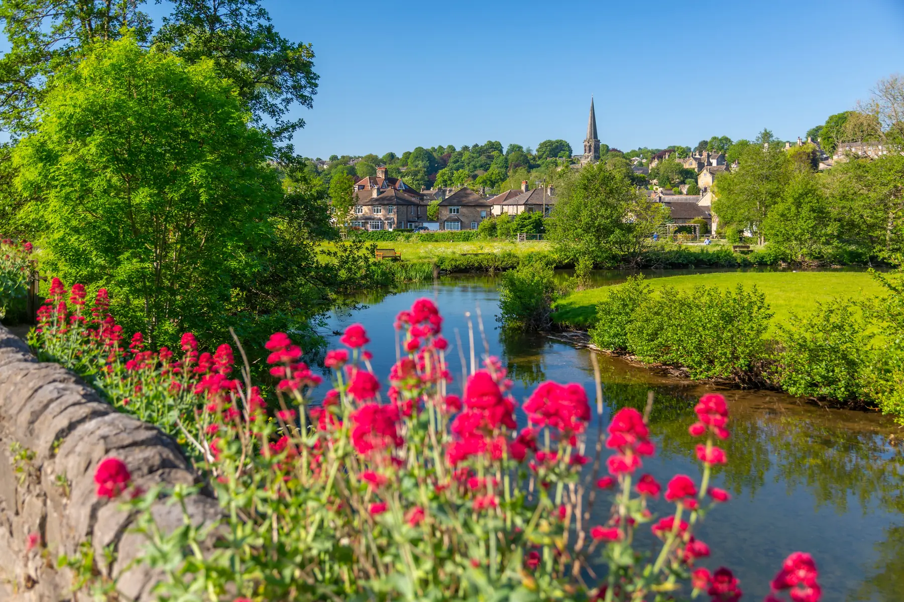
Bakewell is the only town inside the Peak District National Park, and it sits precisely on the seam between the park’s two halves. West and south is the White Peak: pale limestone, dry stone walls, narrow wooded dales and a river that disappears underground in summer. North and east is the Dark Peak: gritstone edges, heather moor and long views. Very few walking bases in England offer two landscapes this different within a few miles of the same market square.
The other advantage is the old railway. The line through Bakewell closed in 1968, and its trackbed is now the Monsal Trail — level, surfaced, traffic-free, and running west along the Wye valley through tunnels and over viaducts. It means every walk here has a flat return option, which matters more than it sounds.
Distances below are from the centre of Bakewell.
The River Wye runs through the middle of Bakewell, and the path along it — from the medieval bridge past the weir footbridge and the Recreation Ground — is the walk everyone does without planning to. Twenty minutes, entirely flat, with ducks, the weir, and views back to All Saints Church on its hill. It is the introduction to the town rather than a walk in its own right, but it is a good one.
Climb from the bridge up Church Street to All Saints, which holds an extraordinary collection of Saxon and Norman carved stones, including two crosses in the churchyard. The lanes around it are the oldest part of Bakewell and are pleasantly free of the crowds that fill The Square. Add the Old House Museum, a sixteenth-century yeoman’s house a couple of minutes away, and you have an easy half-morning. See our Old House Museum page.
Just under three kilometres south along the Wye, on a path that leaves the town by the Recreation Ground. Haddon Hall is the finest surviving medieval manor house in England, a former seat of the Dukes of Rutland and still lived in by the Manners family. Walking there and back is about ninety minutes and the approach across the meadows is far better than arriving by car. More on the Haddon Hall page.
Five kilometres west, and the classic White Peak dale. The Lathkill emerges from springs below Lathkill Head Cave, runs clear and shallow over limestone through a steep wooded valley, and in a dry summer disappears entirely into the riverbed. It is a National Nature Reserve, it is exceptional for wildflowers in June, and the walking is easy. The usual circuit starts from Over Haddon, where there is a car park, and can be extended to Monyash at the head of the dale. See our Lathkill Dale page.
Beyond Lathkill, Bradford Dale is quieter still — a series of clear pools and low weirs below the village of Youlgreave. Combining the two dales into a figure of eight from Over Haddon or Youlgreave makes one of the best days in the White Peak.
Ten kilometres west towards Buxton, Chee Dale is a limestone gorge where the Wye runs between vertical cliffs, and the path in places has nowhere to go but into the river — hence two sets of stepping stones laid along the base of the cliff. It is genuinely dramatic, it is impassable when the river is high, and it is not a place for anyone unsteady on their feet. Reach it from the Monsal Trail at Miller’s Dale. Our Chee Dale page has more.
The view from Monsal Head down onto the Headstone Viaduct crossing the Wye is the picture that sells the Peak District, and there is a pub and a car park at the top. Walk down to the viaduct, along the trail through the tunnel, and back up — around an hour, with one steep climb.
Four and a half kilometres west near Sheldon, this is the best-preserved lead mine in Britain: a walled enclosure of engine house, chimney and headgear standing alone on the limestone plateau, a Scheduled Monument, and free to walk around. It is an odd, atmospheric place and it makes a good target for a walk from Ashford in the Water. More on the Magpie Mine page.
Six kilometres south, Robin Hood’s Stride is a pair of gritstone pinnacles on the Limestone Way above Elton, deeply weathered and popular with climbers. Nearby, Stanton Moor holds the Nine Ladies stone circle and a scatter of Bronze Age cairns among the birch. The two together make a fine afternoon and take you into the gritstone country without a long drive.
North-east towards Baslow, the gritstone edges begin. Birchen Edge carries Nelson’s Monument and three boulders named after his ships; Gardom’s Edge has prehistoric rock art and field systems; the Eagle Stone sits on Baslow Edge with a view across the Derwent valley. All are open access and free.
The trail runs about thirteen kilometres from Bakewell’s old station to Blackwell Mill near Buxton, on the level, through four lit tunnels and over the viaducts at Monsal Head and Miller’s Dale. It is surfaced, it is suitable for pushchairs and wheelchairs for most of its length, and it is the easiest serious walk in the Peak District. Our Monsal Trail guide covers it in full, including cycling it.
Four and a half kilometres north-east. The park at Chatsworth is free to walk in and is one of the great designed landscapes of England: the Emperor Fountain, the canal pond, Capability Brown’s parkland and the moors rising behind. You can walk in from Baslow or Pilsley, or from Bakewell via the Monsal Trail and the Chatsworth estate paths. The house and garden are ticketed; the park is not.
Parking. The Monsal Trail car park at the old Bakewell station is the natural start for the trail; Over Haddon serves Lathkill Dale; Monsal Head, Miller’s Dale and Ashford all have their own. In the town, the Recreation Ground and Granby Road are the mainstays.
No station. Bakewell has not had a railway since 1968. The nearest are Grindleford and Hathersage on the Hope Valley line and Matlock on the line from Derby, all around eleven kilometres out, with buses connecting.
Buses reach Bakewell frequently from Sheffield, Chesterfield, Derby, Matlock and Buxton, and stop around The Square. Several routes pass Chatsworth, which makes a linear walk back to Bakewell easy to arrange.
Underfoot. The dales are muddy and slippery after rain and the limestone is treacherous when wet. The Monsal Trail is fine in any weather.
Water. The Lathkill and parts of the Wye can dry up completely in high summer — a normal feature of limestone country rather than a sign of anything wrong.
The distinction is worth understanding because it changes what a walk feels like. The White Peak, west and south of Bakewell, is limestone: pale walls, close-cropped grass, wooded dales cut deep into a plateau, rivers that vanish underground and reappear, and villages of grey stone. The walking is intimate and enclosed, and the flowers in June are exceptional.
The Dark Peak, north and east, is gritstone: heather moor, peat, and long escarpments — the edges — running for miles above the valleys. The walking is open, exposed and about the view.
Bakewell is one of the very few places you can do both from the same bed. A morning in Lathkill Dale and an afternoon on Baslow Edge is a perfectly ordinary Peak District day from here, and it is the reason walkers keep coming back to a town this small.
The riverside to Haddon Hall for an easy morning; Lathkill Dale for the classic dale; Monsal Head for the view everyone photographs.
Yes, in around an hour and a half each way through the estate and along the Wye, and the bus makes a one-way walk easy.
Most of it, yes. It is surfaced and level, with a gentle gradient, and the tunnels are lit.
Several. The Wye to Haddon and back, the church and Old House Museum loop, and a longer circuit taking in Over Haddon and Lathkill Dale.
After sustained rain, and Chee Dale’s stepping stones in particular become impassable. Check before setting out in winter.